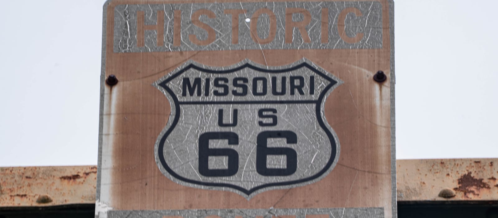
Chain of Rocks Bridge
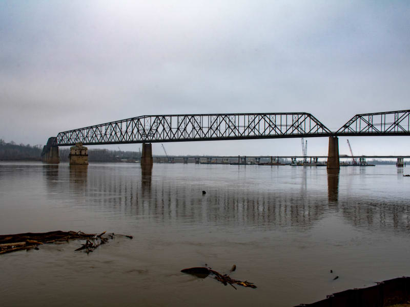
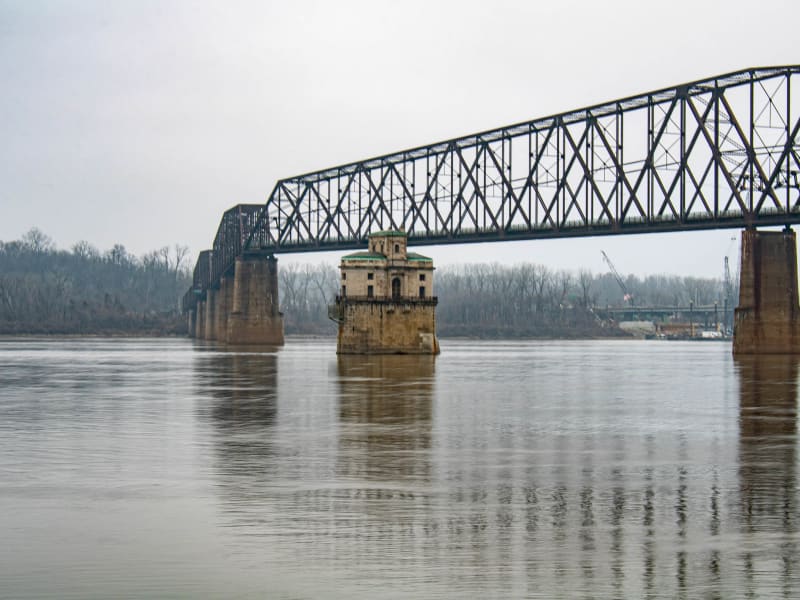
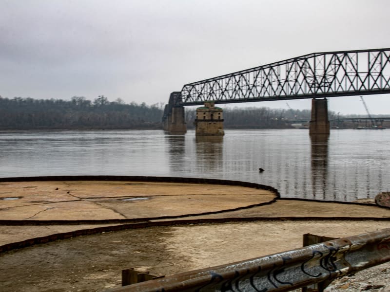
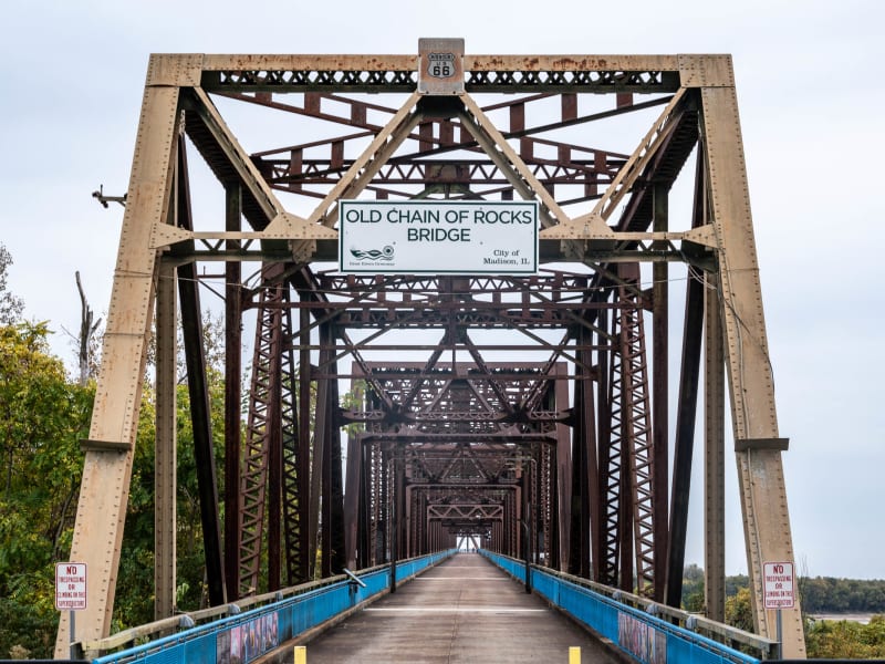
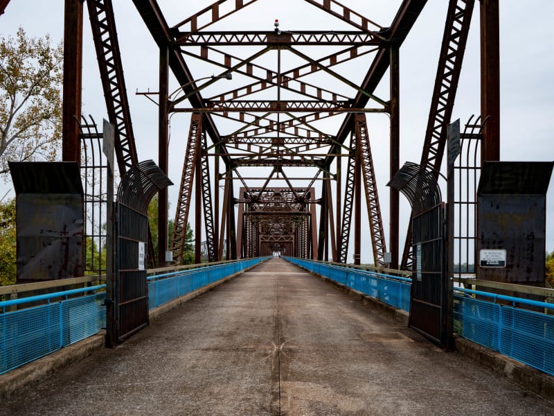
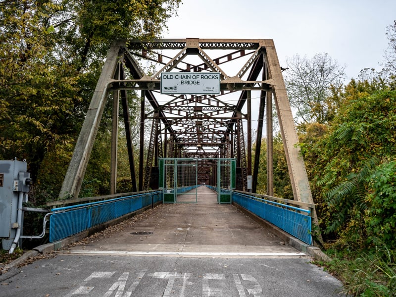
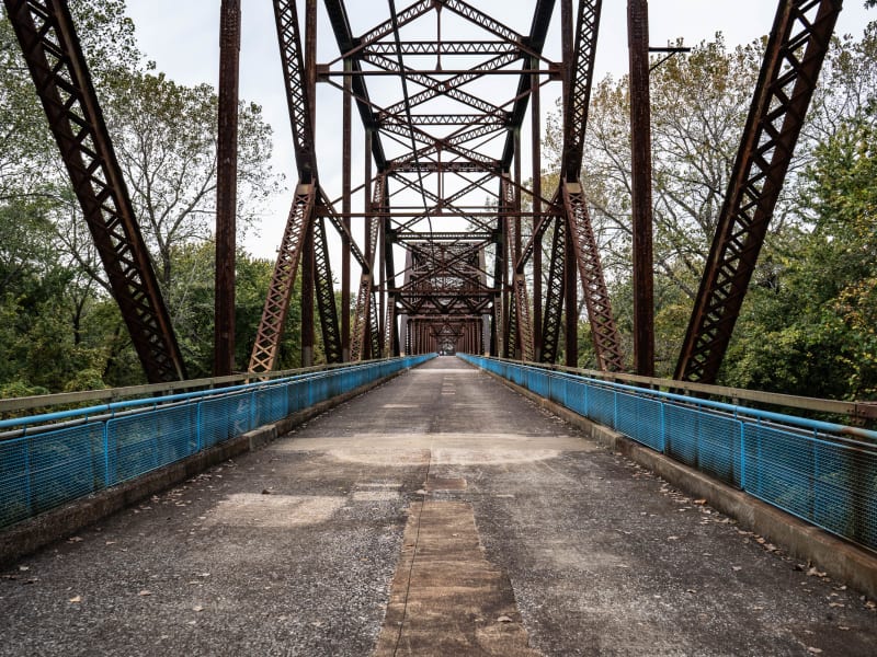
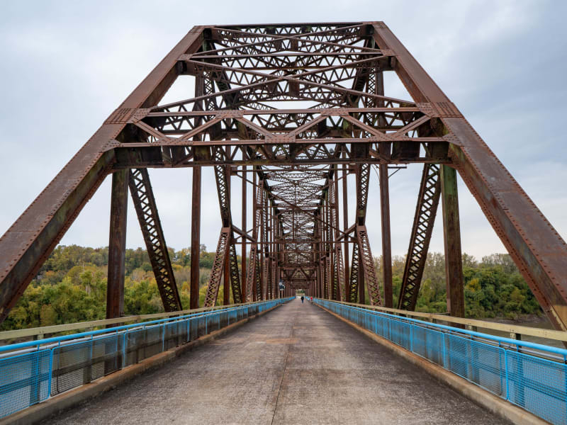
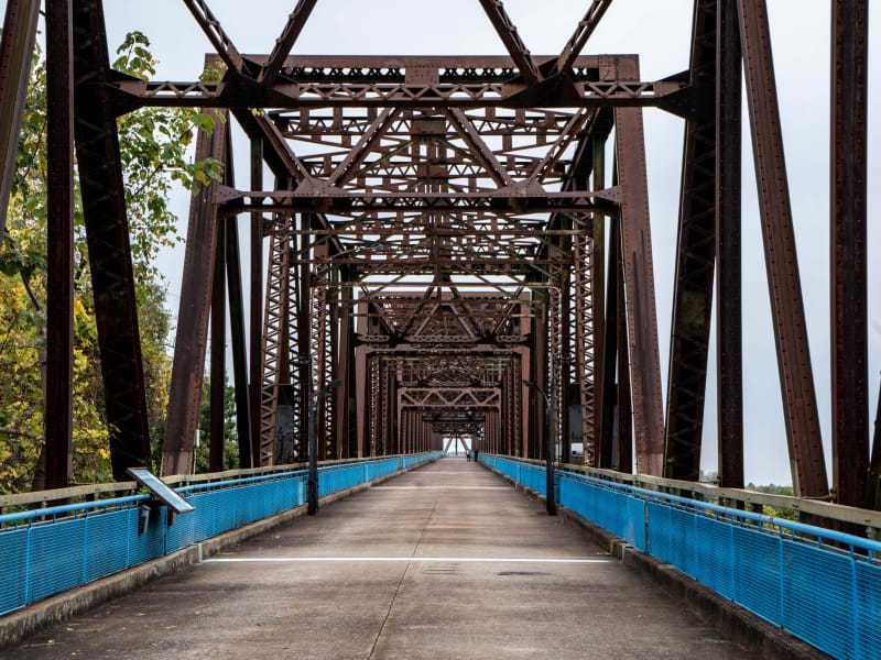
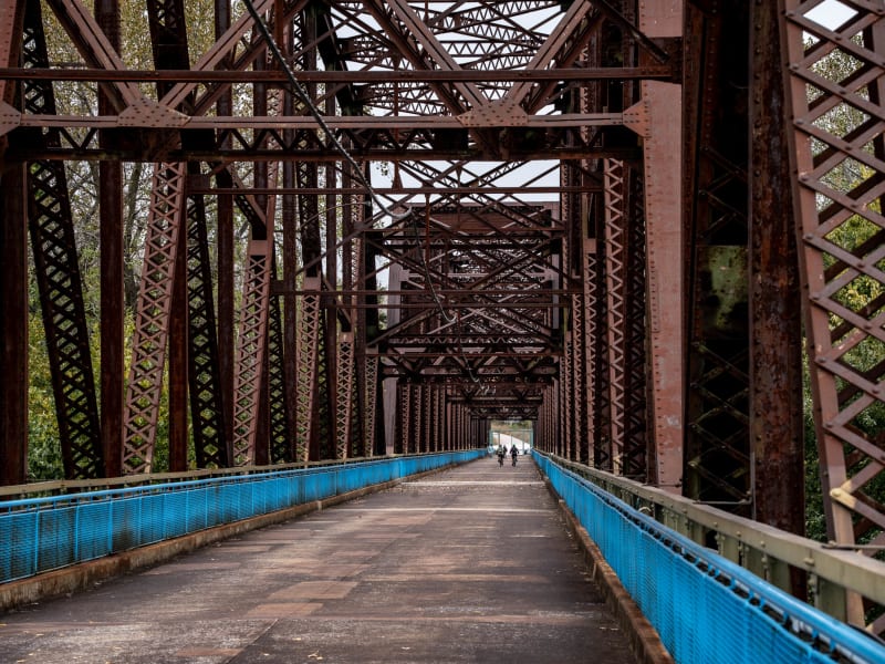
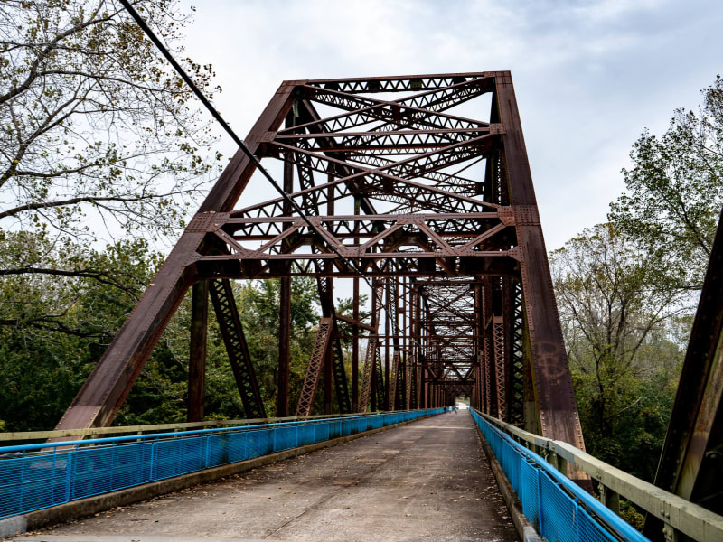
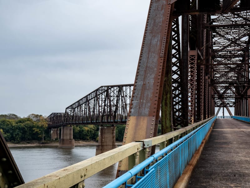
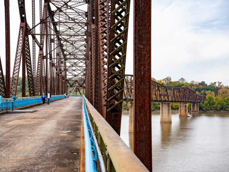
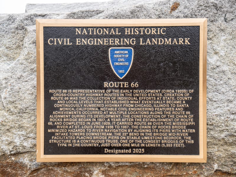
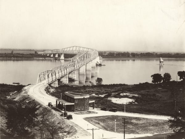
A steel truss bridge more than a mile long (5,350 feet), carried across the Mississippi on concrete piers from the bluff at the north edge of St. Louis to Madison County, Illinois. Five continuous trusses make up ten spans, the longest 700 feet. Its famous bend near midstream was engineered to ease river traffic past the piers and the city's water intake towers. The American Society of Civil Engineers plaque at the Missouri end gives the bend as 22 degrees and the length as 5,353 feet, while the National Register nomination says 30 degrees. Closed to cars since 1968, it now carries walkers and cyclists on the Route 66 Bikeway.
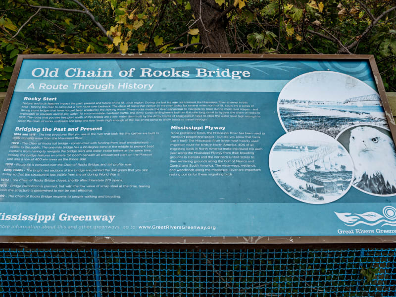
A private company, the Chain-of-Rocks and Kingshighway Bridge Company, got a congressional charter in 1927 to bridge the river at the Chain of Rocks, the rocky rapids at the north end of the city. St. Louis engineer Baxter L. Brown designed it. The Union Bridge and Construction Company of New York built the substructure and superstructure, and the American Bridge Company fabricated the trusses. The original straight plan drew protests from riverboat pilots, and the War Department ordered a bend; the nomination adds that bedrock for the straight line was poor. Ice and spring floods delayed the work, and the bridge opened to traffic on July 20, 1929. Its Missouri toll house stood at the foot of the bluff. In the 1930s the City of Madison, Illinois issued $2.3 million in bonds and bought the bridge. In 1936 U.S. Route 66 was rerouted across it, its third Mississippi crossing after the McKinley and MacArthur bridges. The New Chain of Rocks Bridge opened about 2,000 feet upstream in 1967, and the old bridge closed in 1968. In the early 1970s Army demolition teams considered blowing it up for practice, and a 1975 demolition plan was dropped in 1976 when scrap steel prices fell. Trailnet proposed a trail conversion in 1989, leased the bridge from Madison, began cleanup in January 1997, and opened it in 1999 as the Route 66 Bikeway. It is listed on the National Register of Historic Places. In 2025 the American Society of Civil Engineers designated Route 66 a National Historic Civil Engineering Landmark, and its plaque at the Missouri end of the bridge credits the bend with letting the piers sit on stable limestone bedrock and line up with the water intake towers downstream.